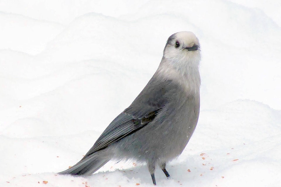
It’s a cold start to Thursday (Oct. 22) with a wind chill of -9 C this morning but unfortunately, it gets worse.
Environment Canada is calling for snow to start overnight.
Thursday calls for a mix of sun and cloud and a high of 5 C, according to the national weather agency, but those clouds will increase tonight before snow tucks us in.
Friday will see snow mixed with rain in the afternoon and a high of 2 C. Vernon is expected to see between five and 10 centimetres of snowfall Friday.
The arctic front was forecasted to sweep through the region earlier this week bringing the Okanagan Valley a taste of winter early on.
The snow isn’t expected to last for long, however. Lundquist said the blast of arctic air should be a “temporary hiccup.” Environment Canada forecasts that temperatures will be back to seasonal averages by early next week.
Although the snow isn’t expected to stick around long, Lundquist said Okanagan drivers should have their vehicles ready for winter conditions.
“Let’s not assume the snow won’t come heavy enough or fast enough that it will melt right away,” he said.
READ MORE: Snow flurries forecasted for the Okanagan this weekend
READ MORE: Happy ending to Lake Country puppy rescue
@caitleerach
Caitlin.clow@vernonmorningstar.com
Like us on Facebook and follow us on Twitter.
