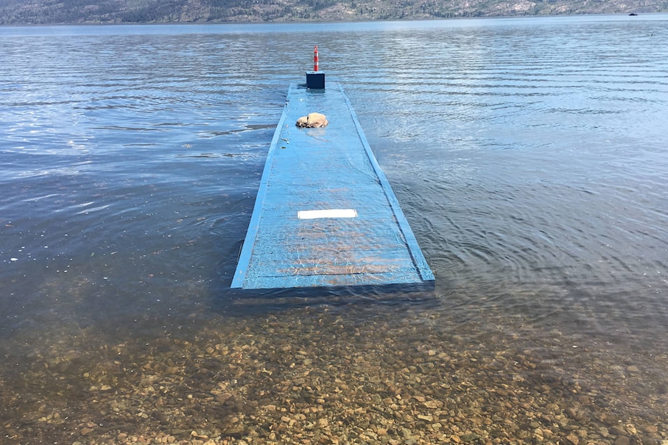
Above normal temperatures in the forecast will accelerate the upper level snowpack melt during the next few days, leading to high streamflows and pushing Okanagan Lake’s level closer to the 343-metre flood mark.
Strong winds forecast to begin Tuesday evening and overnight will come from the southwest at 40-60 km per hour adding a further risk factor for lake front properties due the wave action expected to batter the foreshore. Thunderstorms forecast for late Tuesday and into Wednesday will add to streamflows. Lakefront property owners who have not yet put protective measures in place should do so immediately.
The large-scale deployment of flood protection measures by emergency response teams is now effectively complete. Property owners who have not already taken steps to protect themselves from flooding should do so now before the lakes reach historic levels.
Volunteers are still welcome at sand piles to help others with filling and loading of sandbags.
Okanagan Lake rose 3 centimetres Sunday, bringing the level to 342.86 metres – 1 cm off 1990’s flood level and 14 cm away from this year’s projected peak of 343 metres. Kalamalka Lake is rising an average of 2 cm a day.
The BC River Forecast Centre says Mission Creek’s watershed at 1,794 metres, has approximately 500 mm of snow water equivalent yet to melt. High elevation snow melt rates are expected to reach 30-40 mm, and possibly higher, through Tuesday. For more information, please go to:http://bcrfc.env.gov.bc.ca/index.htm.
The lake levels are expected to remain extremely high into July, making it important for property owners to maintain shoreline protection for the foreseeable future.
People and pets should stay back from creek banks, which can be extremely slippery and are at risk of erosion.
The Emergency Operations Centre remains open; and BC Forestry and various municipal crews continue to provide on-the-ground support. The Emergency Support Services reception centre will reopen Tuesday, May 23 from 11 a.m. to 2 p.m. unless otherwise needed.
Lakeshore Property Owners Urged to Take Action
Lakefront residents should protect their properties from flooding if they have not already done so. To check whether a property needs flood protection, go to the Flood FAQs section ofwww.cordemergency.ca/beprepared, to get directions on how to measure for flood levels and build barriers to the appropriate height to account for both lake level flooding and wave action.
Emergency Operations Centre officials conducted a detailed shoreline survey and surveillance flights to determine where flooding will likely occur up to 343.6m – the projected Okanagan Lake flood level (343m), plus the buffer for wave action. Officials observed that many at-risk lakefront properties lack adequate foreshore protection to this level.
Sandbagging stations are stocked and replenished daily at several locations throughout the Central Okanagan. Visit www.cordemergency.ca/map to find the location closest to you.
North Westside Evacuation Orders Issued
Evacuation Orders remain in effect for 71 and 81 Marchbank Road due to a small landslide in this area off Westside Road, north of Killiney Beach. The private drive at 71 Marchbank Road has also been closed as a safety precaution to keep area residents from using the access as a walkway to Okanagan Lake. One home is currently unoccupied; the family of three from the other house found accommodations and did not request assistance from Emergency Support Services.
The homeowners will remain evacuated until a geotechnical report can be completed and reviewed to determine when they can safely return to the property.