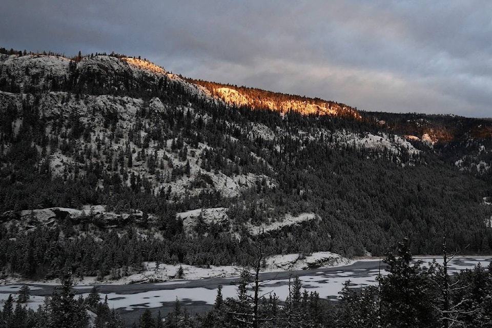
For those living closest to Okanagan Lake, there hasn’t been a day below -8 C this winter.
Doug Lundquist with Environment Canada said while temperatures near Kelowna International Airport were a bit cooler, it has been almost ‘balmy’ by the lake and the warm weather is expected to continue.
“There is no cold air on the horizon,” he said. “It is looking to be above average temperatures for January, so maybe, winter will come towards February or March.”
Environment Canada is forecasting temperatures between 1 and 5 C for the week of Jan. 4, throughout the Okanagan and Shuswap.
Snow is expected on mountain passes overnight on Monday and Tuesday morning, accumulating to about 10 cm on the Coquihalla. In the Okanagan Valley, except rain overnight with a mix of light snow, which could melt by mid-morning.
“This time of year we usually see arctic air or above-average temperatures, but this is way above average. It is a warming pattern and it’s not typical for January,” explained Lundquist.
Wind will start gusting on Tuesday of up to 50 km/hr in some locations in the Okanagan. For the Shuswap, expect rain mixed with snow and wind picking up to 40 km/hr on Tuesday.
Wednesday will be the warmest day of the week, with Lundquist forecasting, temperatures of up to 7 C in some areas around Shuswap Lake and Okanagan Lake.
READ MORE: Housing values increase in Thompson Okanagan region
@Jen_zee
jen.zielinski@bpdigital.ca
Like us on Facebook and follow us on Twitter.