Overland flooding south of Oliver prompted a response from the Regional District of Okanagan-Similkameen’s emergency team on Thursday afternoon.
The regional district is currently monitoring the situation near Road 22 in rural Osoyoos on June 16.
As part of its response, the region is working with provincial partners and AIM Roads.
River levels near Road 18 — just north of Road 22 — have a height of 1.9 metres and a flow rate of 78.5 cubic metres a second, currently in the range of a five to 10-year event.
Shaun Reimer, Penticton’s dam manager, told Black Press on Wednesday that the rising water levels are heading south through Oliver to Osoyoos Lake and that residents in the area may see some fields flooded.
READ ALSO: Monitoring for flooding as Okanagan Lake exceeds full pool
Snowpack levels in the South Okanagan are between 153 and 165 per cent of the normal mark, which led the regional district to issue an emergency preparedness notice this week.
“Rain events have the potential to increase the flow of rivers, creeks, and tributaries that may affect homes in low-lying areas or known floodplains,” the region said in its announcement.
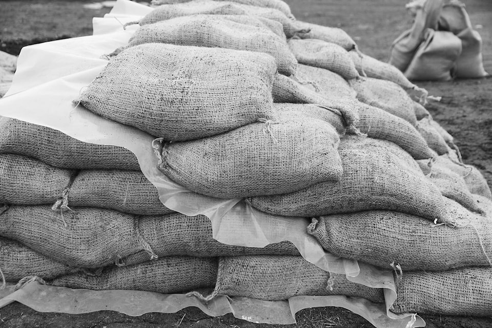
Sand and sandbags are available at the Oliver Fire Department on 369 Similkameen Avenue.
READ MORE: Flood preparations urged in Regional District of Okanagan-Similkameen