Winter is coming.
But not for good just yet.
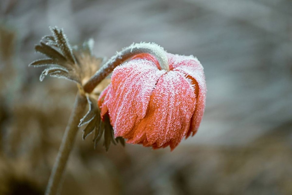
Sub-zero temperatures will hit the Okanagan tonight and Wednesday night, reaching down to around -3 C, according to Environment Canada meteorologist Doug Lundquist.
Highs of just 5 or 6 C are expected for both days — about eight degrees below the average temperature at this time of year.
“Definitely a little bit colder than average for the next couple of days,” he said.
While the lows likely won’t set any records, they’ll be close. Lunquist said the record low for Oct. 8 is -4 C.
Lunquist said that frost is expected for much of the Kelowna area but besides higher elevation areas, a large part of the Okanagan should be safe from the snow.
“Joe Rich could see (snow),” he said. “The higher parts of the city could get some flurries but probably not right down next to the lake.”
Lunquist said now is the time to start winterizing and suggests to take proper precautions when travelling through high terrain.
“We have to shift into our early-winter way of thinking,” he said.
READ MORE: Interior BC highways covered in snow
READ MORE: Special weather statement in effect for interior B.C. mountain passes
@michaelrdrguez
michael.rodriguez@kelownacapnews.com
Like us on Facebook and follow us on Twitter.