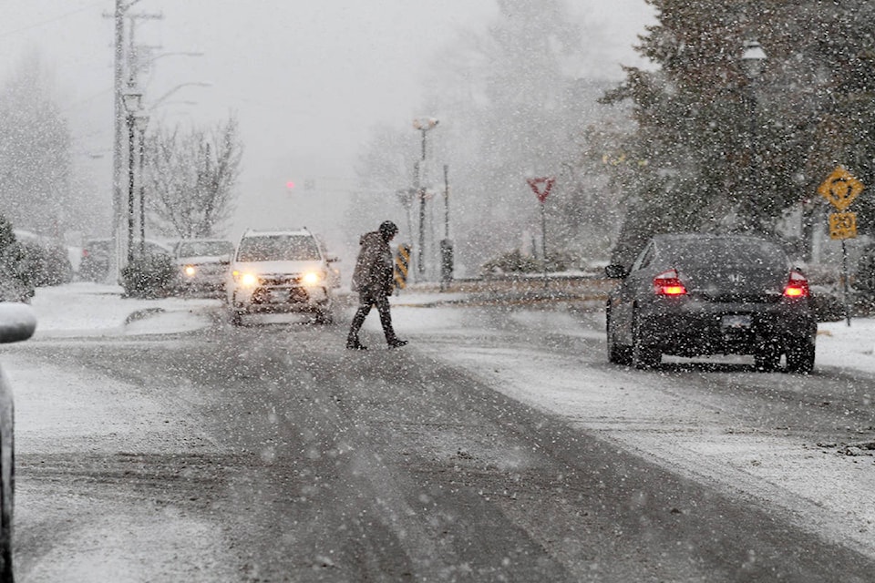
Snow is expected to fall on Kelowna Sunday, putting an end to a warm stretch of weather.
It was the 10th warmest November on record for Kelowna and it was caused by above average temperatures at the Pacific ocean’s sea surface.
December has consistently been the snowiest month for the region, and should remain that way for the last month of 2018.
“December averages about 32 centimetres of snowfall in Kelowna,” said meteorologist Bobby Sekhon with Environment and Climate Change Canada.
“There’s always more snow than rain in the last three weeks which is pretty close to normal. Kelowna has a 62 per cent chance to see a white Christmas, but it’s no guarantee. The first transition to flurries could come on Sunday with the biggest blast maybe coming Tuesday or Wednesday.”
RELATED: Canadians drank almost eight million litres of eggnog in 2016
“Keep an eye out on the forecast for driving conditions,” said Sekhon. “Highway routes (like the connector and the Coquihalla) are tricky to nail down for long range forecasts.”
To report a typo, email:
newstips@kelownacapnews.com.
@KelownaCapNews
newstips@kelownacapnews.com
Like us on Facebook and follow us on Twitter.